Another one of my solo hiking days. For my birthday, Rick bought me a PLB - that's a Personal Locator Beacon - so that when I go off hiking by myself I'll have an emergency calling device in case anything life-threatening happens to me. I just have to press the button on the small hand-held gizmo and it sends an alert and a GPS location to a "Mission Control Center," that then organizes a rescue. It's a good idea. We both feel safer already.

The hike of the day was along the Metolius River, just north of the town of Sisters. I got information about the hike from the Sisters Chamber of Commerce and Visitor's Information Office. Basically, you take 126 northwest out of Sisters until you get to 14, then turn right or north onto 14 and follow signs to the little town of Camp Sherman. Camp Sherman consists of a small resort, RV park and general store in the midst of a remote summer home/camp community clustered around the woodsy Metolius River. (There are internet resources that can give you more details about the hike and the surrounding area.)

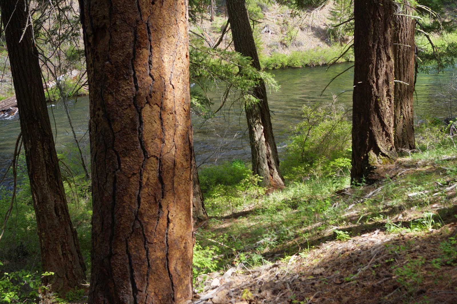
From the bridge at Camp Sherman you can hike north or south along the river, or drive further north on 14 to the Wizard Falls Fish Hatchery and pick up the river side trails there. I did both. The lower end is residential on the west side and park land on the east side where the trail is, and the river is gentle. It grows as it flows north, deepening and cutting through gorges as it's fed by other springs along the way. By the time it gets to Wizard Falls it's really ripping.

I guess this is Spring high water for the Metolius. Looking down at it from the bridge at the fish hatchery, and from the banks high above the gorge, you can see the bright turquoise water in the deep central channel in contrast to the dark shallow water that runs over rocks and vegetation near the banks. Now I'm not sure about why the deeper water would be lighter, but I think it has to do with how much air is bubbling around in it.

I don't know if the Metolius is navigable by kayaks when the water is lower,
but these guys were shootin' it this day.

The trail is easy, with short sections of changes in altitude.
I did pick up a stick along the way to help me with a few descending areas.
The was plenty of spring undergrowth coming on, including lovely sunflowers of some sort,

...and columbine,

…and three of the tiniest wildflowers ever.

All along the river the water is clear as can be. My favorite kind of river. After hiking about 4 miles on those two hikes, I headed home on Rt. 14 and came upon the sign for the Head of the Metolius. I had to see that. There's a parking lot and a paved path downhill to an overlook above the river's source. The Metolius looks like it springs out from under a bunch of bushes. Above the bushes there's just forest, not a hint of the river below, which actually comes from way up in the Cascades and pops out of the rocks here. Pretty cool.

On the way home the sky above the mountains
was doing some pretty cool things too.

More Bend area adventures to come...
Thanks for the wonderful pictures.
ReplyDelete