"Could I have this dance for the rest of my life?" - Anne Murray

Saturday, October 18, 2014

Eastern Sierras Part Five: Ancient Bristlecone Pine Forest

While in Bishop, CA we stayed at the Highlands RV Park, a perfectly nice park except that the site pads are narrow and close together, with trees strategically placed so as to make pulling into even many of the pull-thru's a little dicey. We really liked Bishop, with special mention going to Schat's Bakkery, Mountain Light Gallery and Wilson's Eastside Sports store, all within a few blocks of each other on Main St/395.  Bishop is a great location from which to explore much of the most spectacular parts of the Eastern Sierras, including the Ancient Bristlecone Pine Forest


We've been traveling south of 395 for about a month now, and at Bishop we're at the northern end of the Owens Valley, bounded by the Sierras to the west (above) and the White Mountains to the east. To get to the Ancient Bristlecones you have to travel a bit further south to Big Pine, then go east into the White Mountains. Just east of Big Pine is the grand old Black Mountain (below) standing pretty much alone.  Most of the range of mountains to the east is sedimentary rock, while the Sierras are granite, so they have very different characters.


While Ms. Subaru toiled up the White Mountains for us we passed through several different habitats, ranging from almost bare scrub to a healthy pinyon/juniper forest. The pinyons are having a bumper crop of pine cones and nuts this year, and we saw several groups of people out harvesting. (What a sticky business that must be.)  That's a pinyon loaded with cones in the picture below taken from the "Sierra Vista" overlook, with Bishop and the Sierras in the distance.


There's a spanking new Visitors' Center at the entry to the Ancient Bristlecone Pine Forest to replace the one that burned down. Also note the cool metalwork trim on the sign below.


Bristlecone pines are unique in their preference for high altitudes and nutrient poor soil. In fact, the worse the soil, and the harder the conditions, the longer they live - some over 4,000 years!  The challenging conditions make them grow harder, denser wood, that survives pest infestation better. Many of the trees have dead portions where the bark is gone and you can see the rich, aged wood. 


They are called bristlecones because their purple or pale green new cones have bristles on the tips of their scales.  


Their needles are in bundles of five and are evenly spaced around all sides of the branch.


This gives them a very distinct silhouette with long tubular shaped branches.


The clouds were doing some really incredible things.  The shapes of the trees and the clouds kept echoing each other.


The trees are not immense, like the redwoods or sequoias, but they are older. They grow very slowly. The tree below is comparatively young, maybe a hundred years old, and is about six feet tall. 


We walked the Discover Trail, a mile long trail that goes up and over a rise where many of the older trees are interspersed with younger ones. It's not what I'd call an "easy" walk for anyone who may doubt their ability to walk up and then down, at these high altitudes.  But the trail is obvious, heavily traveled and well cared for.


It turns out we walked it backwards, and missed the opportunity to pick up a trail guide with descriptions of marked locations and trees. Oh well.  The first (last) section of the trail passes around the edge of a large hill of red quartzite talus. 


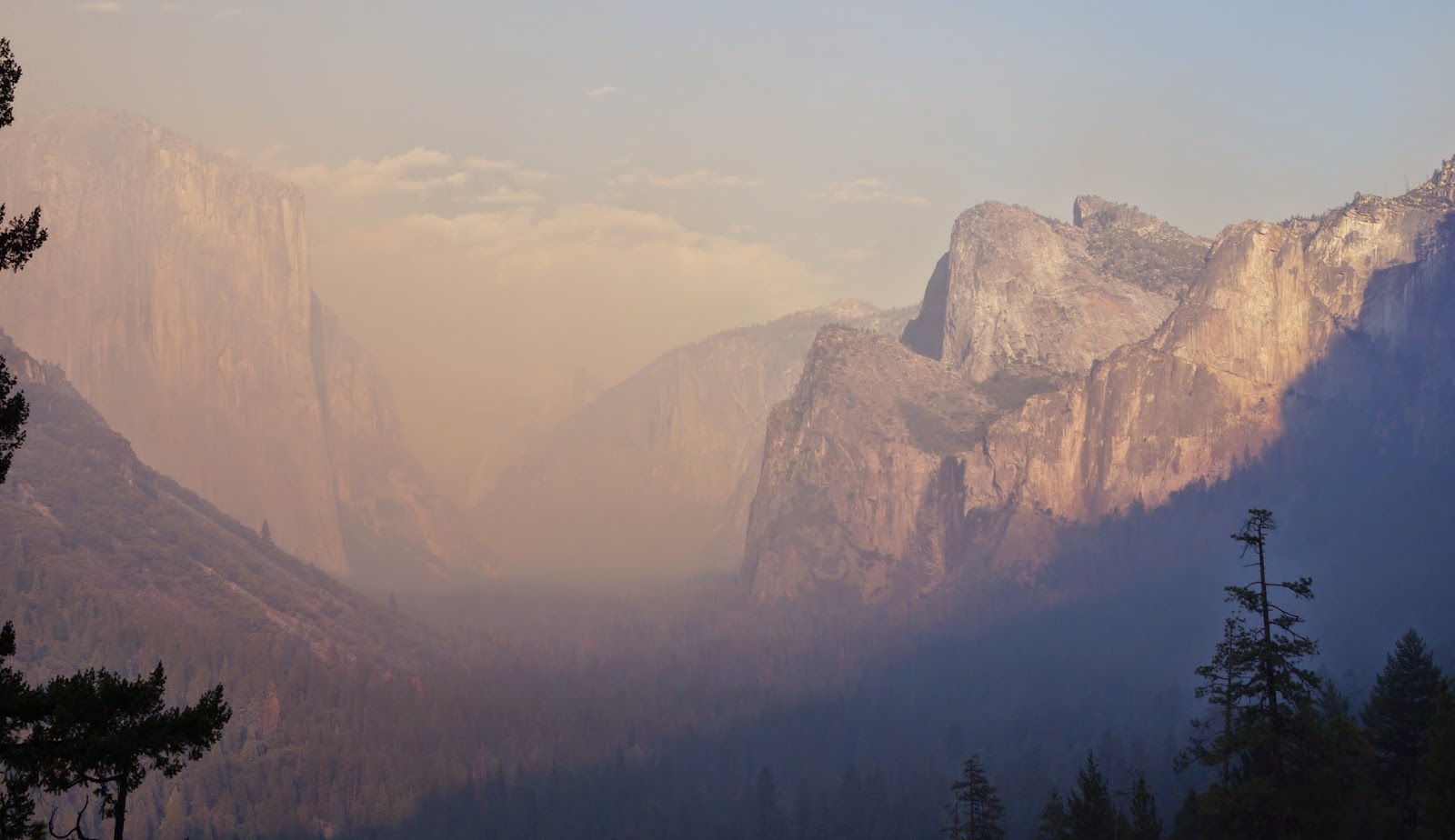
Looking back at the road to the Visitors Center and the Sierra's beyond.


These two magnificent old guys are near the end of the trail, if you're going the right way, so don't turn back before you make the loop.


Another view of the two elders, with a third walking up the hill.


It was a starkly beautiful day...


…in contrast to the complex contortions of some of the trees.


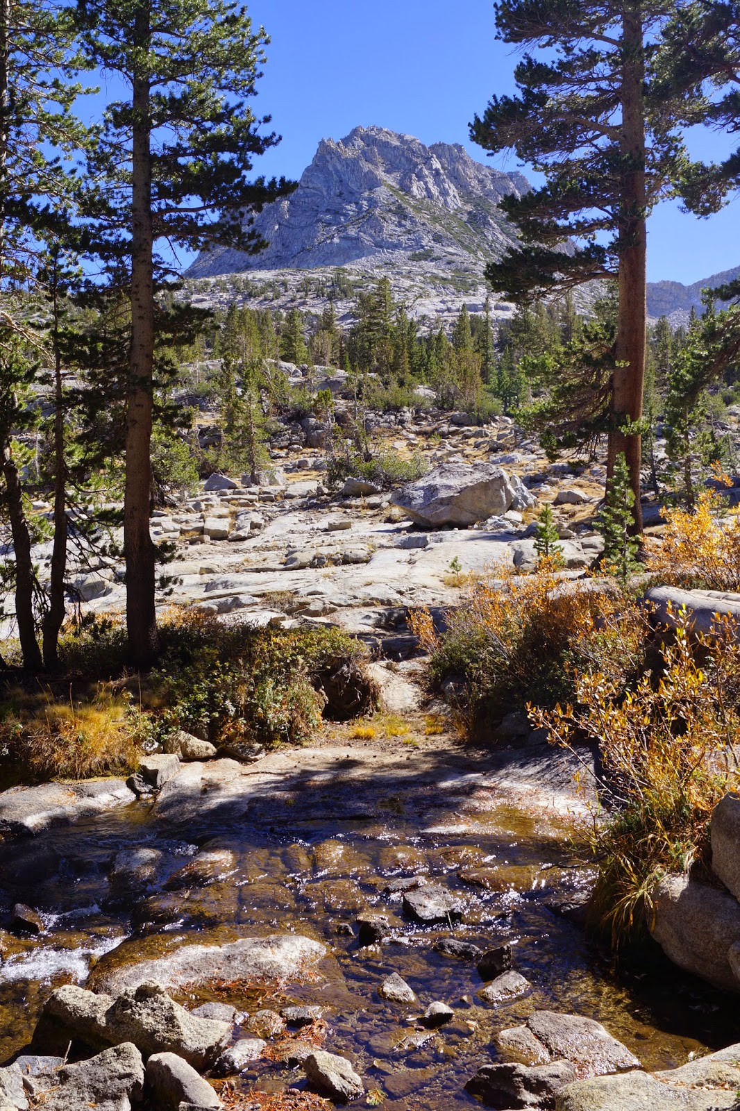
A final view of Black Mountain and the Sierras on our way back to Bishop.


Wednesday, October 15, 2014

Eastern Sierras Part Four: Hike to Treasure Lake


Sunday again, so while some of us watch football, others of us can just take a hike. Literally.

South Lake Trailhead

My hike for the day was the Treasure Lakes Trail, starting at the end of South Lake Rd. via Rt. 168 heading west out of Bishop. I found the hike on Modern Hiker, which has a great detailed description of the trail, including topographical maps.  I started at about 10:00 in the morning and the weather was perfect for hiking - about 60 degrees I think, with strong sun all the way.


The trail is 5.3 miles roundtrip, and much of it is rocky underfoot, so it requires ones full attention. The scenery is beautiful every step of the way, so it's very tempting to gaze around while walking, but not so safe. In my usual style, I take about 10 steps and stop to look around.


The trail crosses what I believe must be Bishop Creek a few times.


The elevation gets up to over 10,500 ft. so I began to slow down considerably. I wasn't bothered by the altitude except that hiking got harder. 


I had read in the Modern Hiker that this ledge was near the top. I kept thinking that surely over the next rise I'd see the lake. 


 But no. At this point you're really up high in the rocks, and more rocks.


Looking back to South Lake (which is very low now). The parking lot for the trailhead is by that dam.


Finally the lake and a break!


As I sat on a rock on the shore, I could watch the golden trout, California's state fish. Pretty cool.


Like many alpine lakes, Lower Treasure Lake sits in a bowl surrounded by mountains. I know their names but not which one is which: Hurd Peak, Mt. Goode, Mt. Johnson and Mt. Gilbert are all visible from here.


There are plenty of nice flat rocky spots surrounding the lake to rest or picnic or fish. I think I saw only eight people and about six dogs on the whole trail.  It was very quiet. 


On the way back down the sun was edging its way toward the mountains in the west.


Back at the trailhead I was already in the cool shadows of a setting sun.


It was a perfect Sunday. (And the Patriots won, so Rick was pretty happy too.)

Saturday, October 11, 2014

Eastern Sierras Part Three: Tioga Pass to Yosemite

Get ready for a ride of a lifetime. 

We decided that the drive over the Tioga Pass/CA Rt. 120 from Lee Vining to Yosemite was too far for a day trip, so we made overnight reservations at a motel in Fish Camp. That turned out to be a very fortuitous plan. 


The first glimpse of the grandeur to come is the wall of grey cliffs (above) that rose up ahead of us shortly after heading west out of Lee Vining. The next breathtaking moment is at what I think must be called Big Bend. There is a long incline leading up to a singular peak (below) on one side...


…and a gorge on the other. As you can see, the aspens were in full color.


The waterfalls are the Tioga River flowing out of Ellery Lake (below) and on to Mono Lake. The area around Ellery Lake is especially colorful as the rocks here are metamorphic, in contrast to the granite that is pervasive along the whole route.


And here is the first dome of the day. The granite in this area was carved by glaciers and eroded in many places into these classic dome shapes that you see in and around Yosemite.  This one is Lembert Dome, at the east end of Tuolumne Meadows.  We stopped here at the recommendation of a ranger to take the Tuolumne Meadows hike. 


It was a great recommendation and a choice we might not have made on our own. You can see the meadow from the road, but to hike along the Tuolumne River was so lovely. There is a dirt road that leads right to Soda Springs, and has information plaques along the way. 


But the better hike is found by cutting over to the river and taking that scenic route all the way to the bridge and Soda Springs, and back. In the shot above, I believe the mountain in the background is called Unicorn Peak. On its left side are the ears and horn, then moving right down its face, ending on the right side with its nose. See it? I think it's smiling.


Soda Springs is a small effervescent spring protected by a log cabin-like structure and bubbling out over the surrounding hillside. (I wouldn't make a special trip to see it.)


After that hike we headed on to Tenaya Lake, which for me was the highpoint of our whole two day trip.  At the eastern end of the lake is a large almost white sand beach, where we had out picnic lunch. The lake is bounded on its north side by the road and another one of those domes.  As you can see, the water is incredibly clear. There was a cool breeze and the water was chilly, so we didn't try to swim, but we thought the location was pretty darn perfect.


And then we found the western end of the lake. OMG! It had a long gently sloping, smooth, solid rock shoreline scattered with glacial erratics. (Those are rounded rocks left behind by a glacier.) At the very end there was a sandy beached bay. Look at these colors and the clarity of the water and air. It was hard to tear ourselves away from Lake Tenaya, but we had miles to go...


Further on is a popular vista, Olmstead Point. This picture is actually taken just a little before Olmstead, from a gravel pull out. It is looking out at Tenaya Lake and the surrounding peaks and domes. It's like a mini-Yosemite Valley -- just as beautiful and with a gorgeous lake in it.


After a loooong drive along the Tioga Rd. we came to the intersection of Big Oak Flat Rd., turned north and headed up to Hetch Hetchy Reservoir. We'd been wanting to see Hetch Hetchy since we heard about it on the National Parks video about Yosemite. Hetch Hetchy used to be a valley that some say was as dramatic as Yosemite valley, but it became a reservoir for the city of San Francisco.  


You can see from the picture above that the water level is down. Not surprising I guess.  Below is the Tuolumne River as it flows out of the reservoir. 


After Hetch Hetchy we continued for another long drive back down Big Oak Flat Rd toward Crane Flats and saw big billowing smoke coming from the Merced River valley that hadn't been there on our way up, and really heavy traffic heading up the road away from the valley. Sure enough, when we got down to El Portal Rd, it was closed off due to a fire in El Portal just a few hours old. Luckily we hadn't planned on overnighting in El Portal because we couldn't have gotten there. Everyone in the park who was staying in El Portal had to find someplace else to stay, and it was slim pickin's. When we were looking for a room a few days before almost everything had been full. 

Once up to Tunnel View, this is all we could see of Yosemite Valley...


What a disappointment for all those folks in Yosemite just for the day or on a tour bus. Well, we headed on south toward Fish Camp and stopped at the Mariposa Grove right at sunset (another ranger recommendation). Yes, it was less crowded, but the light was fading fast. We hiked briskly up to the Grizzly Giant, and then back to the parking lot by another route that I thought might be less steep and smoother walking. Well, that it was, but it was also completely deserted and DARK! The last half mile was pretty spooky. Of course we didn't have one of our many flashlights or even our cell phones to light the path. We just walked carefully and made a lot of noise in hopes of scaring away any bears. We were almost the last folks out of the parking lot. 


Our overnight at the White Chief Mountain Lodge was fine. Nothing special, but it had a restaurant thank goodness, because there was nothing else to be found and we were hungry. But I have to say it was one of the weirdest restaurant experiences I've ever had. Very informal to say the least - kind of like eating in someone's house. The food was OK. We had to eat there for breakfast as well. The chef and the waitress were talking loudly to one another about how to make the oatmeal I had ordered. Seems the chef had no idea!?!? 

Our first stop the next day was Glacier Point for this spectacular view of Yosemite Valley. The large formation is Half Dome. It is really hard to convey how huge these formations are.  This is a view straight into Yosemite Valley


Half Dome is about a mile away in these pictures. A person climbing the dome would be impossible to see from this distance. 


And this is Little Yosemite Valley, just one valley south of the main attraction. That's Half Dome on the left side of the picture.


We were so fortunate that the smoke from the Dog Rock fire hadn't reached the Valley when we were at Glacier Point.  This is what the fire looked like from Wawona Rd, as we headed down to the Valley.   Once again, Tunnel View was completely smoky, so we almost didn't go into the Valley at all.


Last time we were in Yosemite was in March of 2012, during a snow storm (check it out - the contrast is pretty cool.) It was so special, we almost didn't want to mar the memory by seeing it inundated with smoke, but it wan't so bad.  This is El Capitan from the Valley floor.  We stopped at a picnic area and had our lunch before heading back out the Tioga Rd. toward Lee Vining.


It was another long day of driving, but we made a few stops along the way to break it up. This one is Ellery Lake again, but looking at it from the other direction. Just as colorful as before. 


What an amazing place. Thank goodness for the National Parks and their preservation of these treasures. I hope everyone gets a chance to explore Yosemite, especially the areas outside of the Valley floor. It's a huge park, and requires a lot of driving or shuttle riding, but it's well worth it.